3D and Spatial Data Solutions for Accurate Real-World Insight
Site-Specific Data Capture
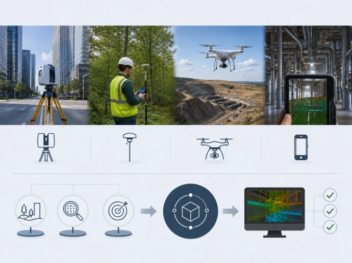
We select the most suitable technology based on the site, required level of detail and intended use.
Processed, Ready-to-Use Deliverables
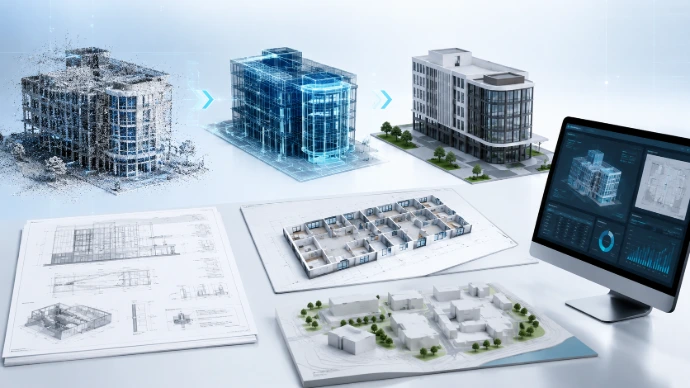
We deliver more than raw data: project-specific point clouds, models, documentation and digital environments ready for practical use.
Solutions Tailored to Your Project Goals
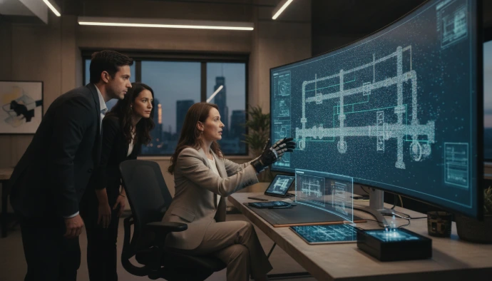
Where required, we adapt the deliverables to your existing engineering, sales or decision-support workflows.
How Can We Help?
LiDAR & Point Cloud Processing
BIM & 3D Modelling
Spatial Data & Digital Solutions
Specialised Sensor Data CaptureD
Main Service Areas
3D Digitalisation & Virtual Spaces
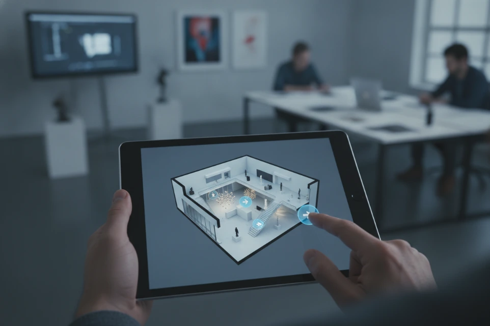
We create digital representations of buildings, industrial environments, showrooms, accommodation facilities and cultural sites. Interactive 3D tours make locations accessible remotely while also providing a useful form of visual documentation.
What can it be used for?
- Virtual property and site presentation
- Visual documentation of industrial and technical environments
- Digital showrooms
- Training and educational environments
- Online presentation of historic buildings and cultural heritage
- Updating Google Street View content
Possible Deliverables
Interactive virtual tour · 360° panoramas · Floor plan view · Visual site documentation · Embedded online presentation
Drone Surveying & Photogrammetry
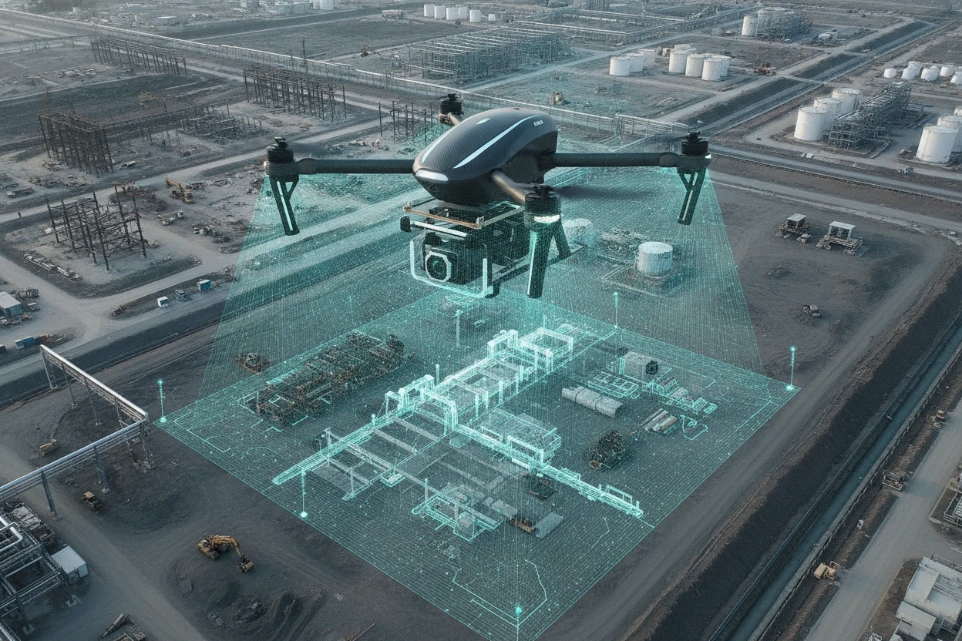
We use drone-based data capture to document buildings, industrial sites, investments and large-area locations. High-resolution aerial imagery can be processed into visual documentation, orthophotos and three-dimensional models.
What can it be used for?
- Documentation of buildings and roof structures
- Monitoring the progress of construction and investment projects
- Overview of industrial sites
- Inspection of difficult-to-access areas
- Site and asset documentation
- Creation of photogrammetric 3D models
Possible Deliverables
High-resolution aerial imagery · Orthophoto · 3D surface model · Photogrammetric point cloud · Progress-monitoring documentation
Important Note
The required accuracy, flight altitude and data capture method are determined individually based on the intended use and requirements of each project.
LiDAR, Laser Scanning & Point Clouds
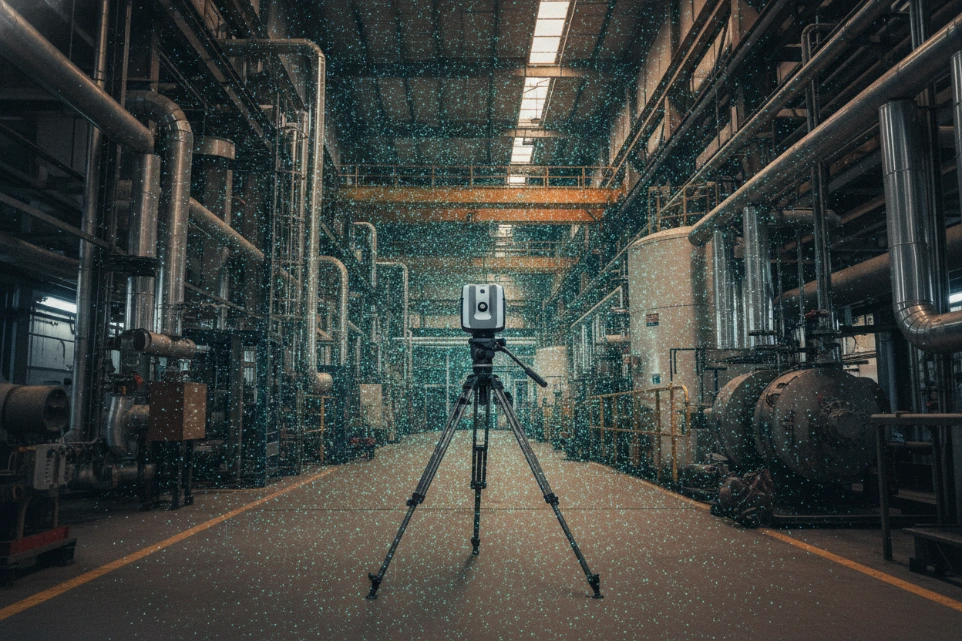
LiDAR and laser scanning technologies enable the creation of highly detailed three-dimensional spatial data for buildings, industrial facilities and complex environments. The resulting point cloud provides an accurate digital basis for further modelling and documentation tasks.
What can it be used for?
- Digital documentation of existing conditions
- Surveying industrial halls and mechanical environments
- Documentation of historic buildings and building structures
- Data capture prior to design
- Creation of cross-sections and measurable views
- Preparation for BIM and CAD modelling
Possible Deliverables
Registered point cloud · E57, LAS or other agreed format · Cross-sections · Measurable views · 3D mesh model · Basis for further modelling
BIM & 3D Modelling
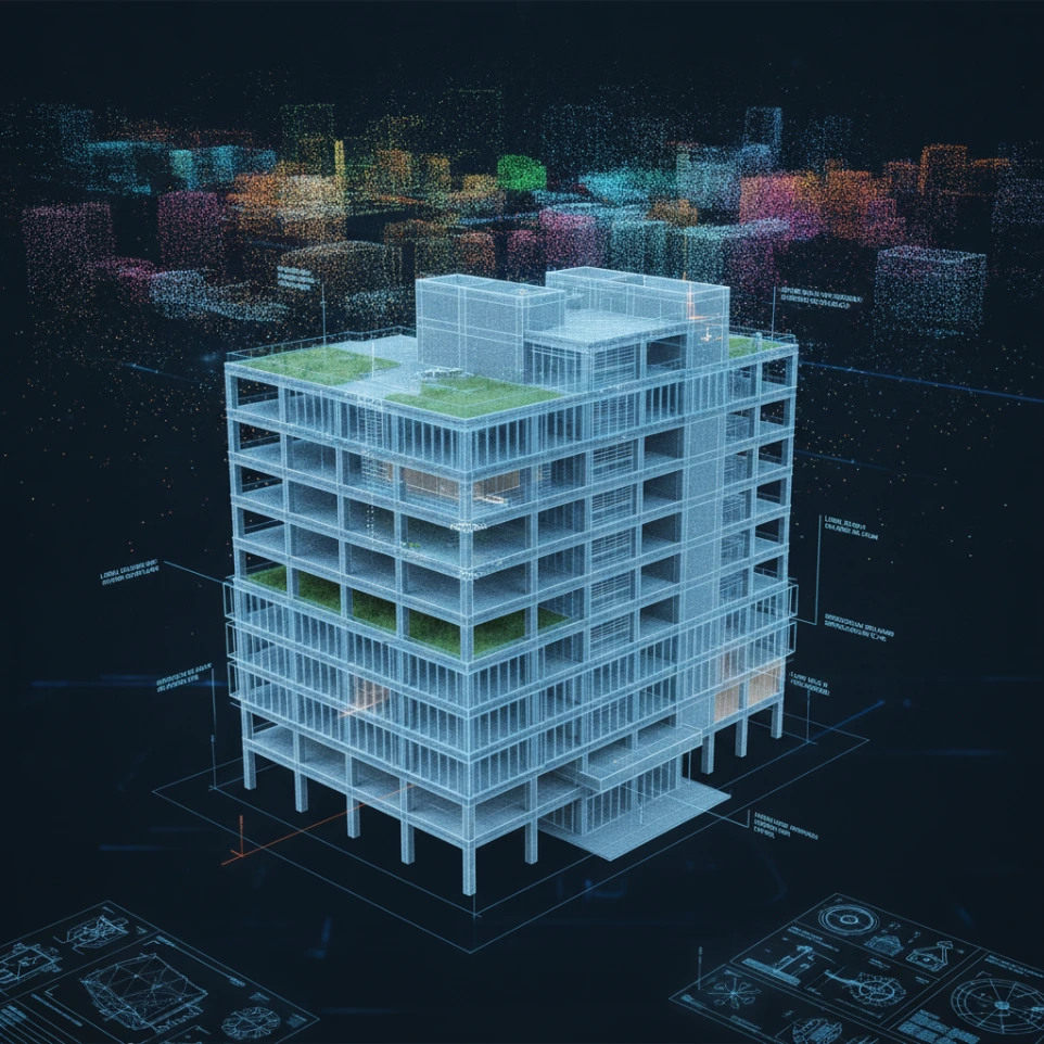
We create digital building and asset models from on-site surveys and point clouds, tailored to the specific goals of each project. These models support design, operation, renovation planning and the long-term documentation of the built environment.
Possible Applications
- Existing-condition modelling
- BIM modelling from point clouds
- Modelling of architectural and structural elements
- Simplified spatial and massing models
- Technical visualisation
- Model-based documentation
Accuracy & Level of Detail
The required level of detail, information content and delivery format are defined before the project starts, based on the intended use of the model.
Spatial Data & Digital Solutions
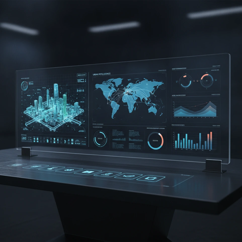
On-site data capture delivers its greatest value when the resulting information can be clearly visualised, compared and integrated into technical or business workflows.
Possible Solutions
- Structuring and visualisation of spatial data
- Web-based mapping and 3D visualisation
- Creation of the data foundation for digital twin applications
- Project and condition monitoring interfaces
- Integration of spatial information into dashboards
- Engineering, operational and decision-support solutions
- Comparison of surveys captured at different points in time.
The technology and digital interface are always tailored to the available data, the intended users and the actual decision-making process.
Hyperspectral & Specialised Sensor Data Capture
We provide hyperspectral and other specialised sensor-based data capture for research, agriculture, environmental monitoring and industrial applications. These technologies can capture spectral information in significantly greater detail than conventional RGB imagery.
Possible Solutions
- Detection of variations in vegetation
- Spectral comparison of materials and surfaces
- Environmental condition assessment
- Research and development data collection
- Support for custom measurement and machine-learning projects
Important Technical Note
Spectral data capture is primarily used to identify anomalies, patterns and potentially problematic areas. Interpretation of the results, and any resulting diagnosis, should always be carried out with the involvement of relevant domain experts.
What Do We Deliver?
The delivery format, level of detail and required accuracy are agreed with the client before each project begins.
How Do We Work?
1
Project Assessment
We review the site, project objectives, required accuracy and intended use.
2
Technical Proposal
We define the most suitable technology, workflow, deliverables and project schedule.
3
Data Capture & Processing
We carry out the on-site survey, then process, verify and organise the captured data.
4
Delivery & Support
We deliver the results in the agreed format and, where required, support their further use.
Not Sure Which Technology You Need?
You do not need to decide in advance whether your project requires drone surveying, LiDAR, a virtual tour or a BIM model. Tell us about your project goals and the main characteristics of the site, and we will recommend the most suitable solution.
Text